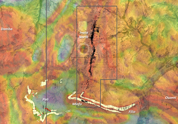
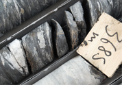
| At Inata, mineralisation occurs within a well-defined shear zone marking the boundary between the granitic and volcanic rocks of the Damba-Inata Domain in the west and the Sona Sedimentary Basin in the east. Gold mineralisation occurs within a sub-vertical shear zone that cuts along folded carbonaceous shales that are sandwiched between sedimentary and volcanic rocks. Quartz-feldspar porphyry dykes intrude along the shear zone and are contemporaneous with the later stages of gold mineralisation. Gold mineralisation is always linked to quartz veins (boudinaged, folded or brecciated quartz veins) or disseminated in haematitic alteration haloes around quartz-carbonate-albite veins. |
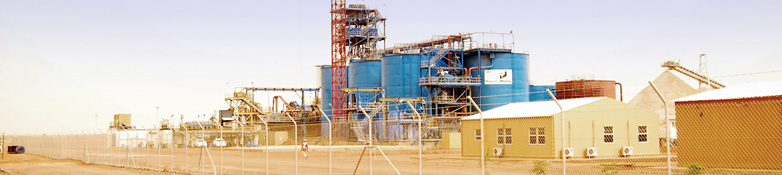
| The Inata gold deposit is deeply weathered with the base of complete oxidation extending down to depths of 60m. A transitional zone of moderate oxidation extends down to more than 150m depth. Inata, including Souma, presently consists of a Mineral Resource of 4.2 million ounces and an Ore Reserve of 0.33 million ounces. The average grade of the mineral Reserves is 1.92 grams per tonne. |
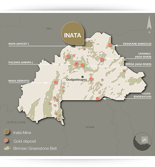
| In the east of the B�lahouro region an important gold-bearing contact exists at the Fete Kole Volcanic-plutonic boundary with the Sona Sedimentary Basin to the east. This contact is called the Souma Trend on which we are developing the Souma Project. |
| Souma is an advanced exploration gold project located about 20 kilometres east of the Inata mine. Geologically, Souma comprises north-south to northwest-southeast striking shear zones that host five mineralised prospects � Miilam North, Miilam Central, Miilam South, Boulili, and Dynamite. Collectively, the mineralisation within these prospects occurs as semi-continuous quartz vein systems affiliated with local shear zones. Mineralised zones occur over a 16 km strike length gold-in-soil anomaly, which is considered to be part of a larger 30 km long north-northwest striking structure. The Souma project has a Mineral Resource of 0.7 million ounces. |